
Marine, Coastal & Offshore Surveying Services
Comprehensive hydrographic, geophysical, metocean, and high-precision positioning solutions tailored for ports, dredging contractors, and marine infrastructure developments across India.
Hydrographic & Bathymetric Surveying
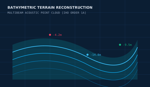
Our hydrographic survey operations capture detailed seabed topography to International Hydrographic Organization (IHO) Order 1a/Special Order guidelines. Utilizing calibrated single-beam and multibeam echo sounders tied to precision GNSS datums with Hypack & Hysweep and Qinsy data acquisition suites, we deliver reliable nautical depth measurements essential for navigational safety, dredging management, and harbour expansion.
Key Project Applications
Technical Acquisition Capabilities
Standard Technical Deliverables:
- ✓Bathymetric contours and color-coded depth models (DEM/DTM)
- ✓XYZ point clouds and gridded depth matrices
- ✓Pre/Post dredging volume computation reports
- ✓Comprehensive hydrographic survey charts (CAD & GIS formats)
Topographic & Drone Survey
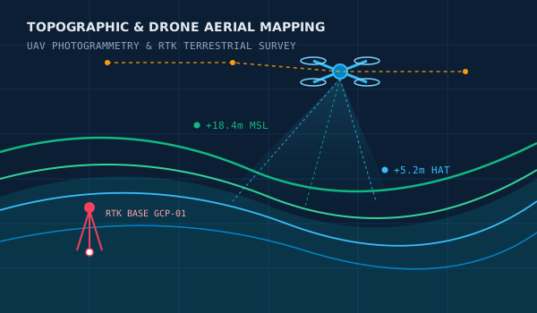
Seamless integration of coastal land topography and marine bathymetry using advanced drone (UAV) aerial photogrammetry, airborne LiDAR, and terrestrial RTK GNSS surveying. We deliver dense 3D point clouds, digital elevation models (DEM/DTM), and high-resolution orthomosaics for port development, reclamation monitoring, shoreline erosion tracking, and intertidal transition zones.
Key Project Applications
Technical Acquisition Capabilities
Standard Technical Deliverables:
- ✓High-resolution georeferenced aerial orthomosaics (GeoTIFF)
- ✓Digital Surface Models (DSM) and Digital Terrain Models (DTM)
- ✓Dense 3D point clouds (LAS/LAZ) and elevation contour drawings
- ✓Volumetric cut-and-fill computation sheets and CAD engineering files
Geophysical & Seabed Investigation
Marine geophysical investigations provide critical subsurface strata insights and seabed surface characterization. Combining dual-frequency side-scan sonar, high-resolution sub-bottom profilers, and marine magnetometers, our technical survey team identifies geologic hazards, bedrock depth, buried debris, and pipeline/cable pathways.
Key Project Applications
Technical Acquisition Capabilities
Standard Technical Deliverables:
- ✓Georeferenced acoustic sonar mosaics
- ✓Subsurface stratigraphic profile cross-sections
- ✓Seabed target and obstruction anomaly registers
- ✓Geophysical engineering survey synthesis reports

Offshore Positioning & Navigation
Centimeter-accuracy surface and underwater positioning support for complex offshore operations. We configure Differential GNSS (DGNSS), Real-Time Kinematic (RTK), and Ultra-Short Baseline (USBL) acoustic tracking arrays to guide marine construction barges, anchor handling, and diver/ROV deployments.
Key Project Applications
Technical Acquisition Capabilities
Standard Technical Deliverables:
- ✓As-laid position coordinates and real-time positioning logs
- ✓Anchor clearance and approach charts
- ✓Rig move and installation sign-off certificates
- ✓Quality control positional audit dossiers

Oceanographic & Coastal Monitoring
In-situ measurement of physical ocean parameters to inform marine civil design and environmental assessments. We deploy Acoustic Doppler Current Profilers (ADCP), automated tide gauges, and water quality sensors to capture seasonal current regimes, wave kinematics, and sediment transport patterns.
Key Project Applications
Technical Acquisition Capabilities
Standard Technical Deliverables:
- ✓Long-term current velocity vector diagrams and harmonic analyses
- ✓Tidal datum verification and harmonic constituent tables
- ✓Wave height and period probability distribution graphs
- ✓Metocean technical baseline engineering dossiers

Marine Inspection & Asset Surveys
High-detail sonar inspection and underwater imaging of submerged maritime infrastructure. We evaluate scouring around bridge piers and jetty piles, map quay wall deformations, and survey pipeline free-spans using imaging sonar and calibrated photogrammetric sensors without requiring hazardous dive operations.
Key Project Applications
Technical Acquisition Capabilities
Standard Technical Deliverables:
- ✓3D point clouds of underwater structures and foundations
- ✓Scour depth volumetric evaluation charts
- ✓Annotated visual inspection registers
- ✓Engineering remedial recommendation support data

Hydrographic Survey Software Suite
Industry-standard software platforms deployed on our survey vessels for real-time sensor integration and multibeam hydrographic processing.
Hypack & Hysweep
Premier hydrographic survey software used for survey design, vessel navigation, single beam and multibeam echo sounder data acquisition, point cloud editing, and dredging volume calculations.
- ✓Single-beam & Multibeam survey line planning and navigation
- ✓Real-time Hysweep multibeam sensor integration & motion correction
- ✓CUBE and 3D terrain model generation for bathymetric charting
- ✓Pre- and post-dredging cross-section and TIN volume computation
Qinsy
Industry-standard multi-sensor marine navigation and positioning package delivering real-time data collection, subsea sensor integration, and precise vessel guidance.
- ✓Multi-sensor interfacing (GNSS, IMU, Gyro, MBES, USBL)
- ✓Real-time 3D point cloud visualization and quality control
- ✓Barge, tug, and offshore construction positioning telemetry
- ✓High-precision geodetic coordinate and datum management